AREA 51
Illustration 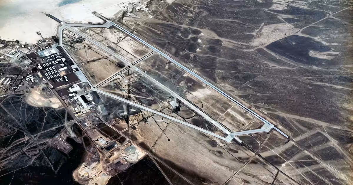
Nevada dry lake runway from a distant ridge. No markings readable.
Illustration, not a period photograph.
Public record
Groom Lake, Nevada. Real test site from the mid-1950s: U-2, A-12 and later articles. Grid square leaked; CIA wording in 2013 says the name Area 51. The base is real. The saucer warehouse is the blank the map left and never got a docket stamp. Lakebed-real distinction still separates the strip from the hangar myth.
Body file not in articles/ yet.
See also
HANGAR 18
Hangar 18. The building is not the proof.
Hangar 18. The building is not the proof.
GULF OF TONKIN
August 1964. Maddox. Herrick. Freak weather effects on radar.
August 1964. Maddox. Herrick. Freak weather effects on radar.
OPERATION PBSUCCESS
PBSUCCESS. Compensation in bonds at tax value.
PBSUCCESS. Compensation in bonds at tax value.